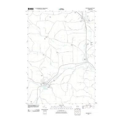
2010 Map of Hillsboro
USGS Topo · Published 2010About this map
Hillsboro and Elroy anchor this corner of Juneau County, following the winding path of the Baraboo River and its western branch. The landscape is defined by its deep valleys and prominent overlooks, such as Tinkers Bluff and The Pinnacle, which rise above the agricultural flats. Water management and community recreation are centered on Field Veterans Memorial Lake, controlled by the Hillsboro 2WP1317 Dam.
Find a feature on this map
90 named features on this map. Tap any name to fly to it.
Don’t see what you’re looking for? This feature index may not catch every label — zoom into the map to look around manually.
Map Details
Editions of this 2010 Hillsboro Map
This is the sole edition of this map. No revisions or reprints were ever made.
Other maps of this area

1919 · Kendall
USGS Topo · 1:62,500

1921 · Mauston
USGS Topo · 1:62,500

1921 · Kendall
USGS Topo · 1:62,500

1927 · Hillsboro
USGS Topo · 1:62,500

1956 · Reedsburg
USGS Topo · 1:62,500

1958 · La Crosse
USGS Topo · 1:250,000

1961 · La Crosse
USGS Topo · 1:250,000

1962 · Kendall
USGS Topo · 1:62,500

1962 · Mauston
USGS Topo · 1:62,500

1965 · La Crosse
USGS Topo · 1:250,000