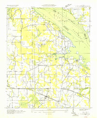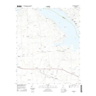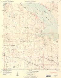
1951 Map of Hillsboro
USGS Topo · Published 1951About this map
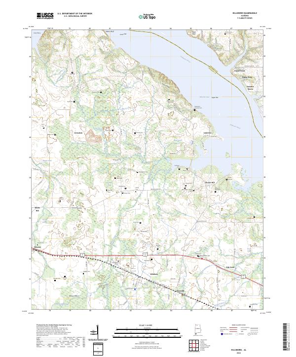
The town of Hillsboro and its surrounding countryside are documented here during a period of transition, where the influence of the Tennessee Valley Authority is evident in the Wheeler Reservoir shoreline. This mid-century survey captures a landscape defined by its agricultural roots and ancestral ties, featuring an exceptional concentration of family cemeteries such as the Newman Cem, Jones Cem, and Swoope Cem. The northern boundary is marked by the Tennessee River at Milton Bluff, while the southern portion of the quadrangle is anchored by the Southern railroad and the Joe Wheeler Highway. Local life is further evidenced by several country churches, including David Temple Church and Ebenezer Ch, alongside rural educational centers like the Wheeler Sch. The map also preserves the layout of Pointer Quarters and the low-lying reaches of Swoope Bottom near Mallard Creek.
Find a feature on this map
58 named features on this map. Tap any name to fly to it.
Don’t see what you’re looking for? This feature index may not catch every label — zoom into the map to look around manually.
Map Details
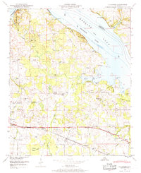
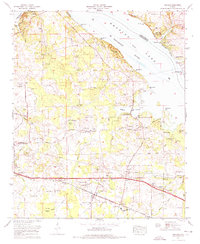
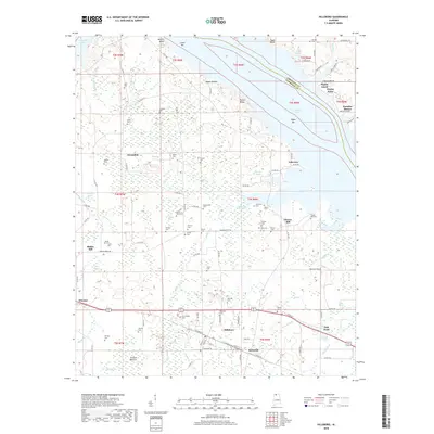
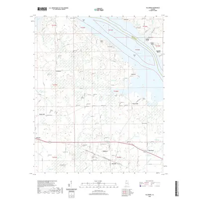
Editions of this 1951 Hillsboro Map
2 editions found
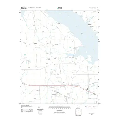
Historical Maps of Hillsboro Through Time
9 maps found