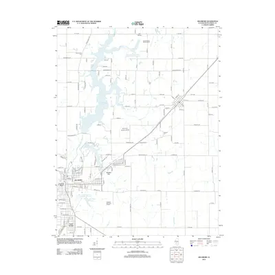
2012 Map of Hillsboro
USGS Topo · Published 2012About this map
The Hillsboro area of Montgomery County is anchored by a significant network of water management features and civil infrastructure. Lake Glen Shoals and Lake Hillsboro dominate the central landscape, while the Shoal Creek Watershed Impoundment Reservoir highlights modern environmental engineering. These reservoirs are fed by tributaries including Middle Fork Shoal Cr and Little Cr, shaping the residential and recreational development of the region.
Find a feature on this map
129 named features on this map. Tap any name to fly to it.
Don’t see what you’re looking for? This feature index may not catch every label — zoom into the map to look around manually.
Map Details
Editions of this 2012 Hillsboro Map
This is the sole edition of this map. No revisions or reprints were ever made.
Other maps of this area

1915 · Mount Olive
USGS Topo · 1:62,500

1923 · Raymond
USGS Topo · 1:62,500

1925 · Raymond
USGS Topo · 1:62,500

1944 · Mount Olive
USGS Topo · 1:62,500

1946 · Nokomis
USGS Topo · 1:62,500

1947 · Hillsboro
USGS Topo · 1:62,500

1949 · Hillsboro
USGS Topo · 1:62,500

1949 · Nokomis
USGS Topo · 1:62,500

1958 · Decatur
USGS Topo · 1:250,000

1961 · Decatur
USGS Topo · 1:250,000