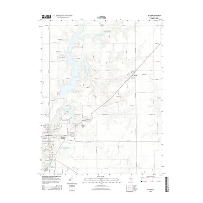
2015 Map of Hillsboro
USGS Topo · Published 2015About this map
Hillsboro and its surrounding communities are defined by a complex network of man-made water features and small-town expansion in the mid-2010s. The landscape is dominated by the Shoal Cr Watershed Impoundment Reservoir and the expansive Lake Glenn Shoals, which provide a sharp contrast to the geometric grid of the Illinois prairie. Industrial history is visible at the southern edge of the map, where the American Zinc Smelter Company Large Lake sits near Taylor Springs, reflecting the region's manufacturing legacy alongside more contemporary developments like Fairmont Place and Hillsboro Heights.
Find a feature on this map
125 named features on this map. Tap any name to fly to it.
Don’t see what you’re looking for? This feature index may not catch every label — zoom into the map to look around manually.
Map Details
Editions of this 2015 Hillsboro Map
This is the sole edition of this map. No revisions or reprints were ever made.
Other maps of this area

1915 · Mount Olive
USGS Topo · 1:62,500

1923 · Raymond
USGS Topo · 1:62,500

1925 · Raymond
USGS Topo · 1:62,500

1944 · Mount Olive
USGS Topo · 1:62,500

1946 · Nokomis
USGS Topo · 1:62,500

1947 · Hillsboro
USGS Topo · 1:62,500

1949 · Hillsboro
USGS Topo · 1:62,500

1949 · Nokomis
USGS Topo · 1:62,500

1958 · Decatur
USGS Topo · 1:250,000

1961 · Decatur
USGS Topo · 1:250,000