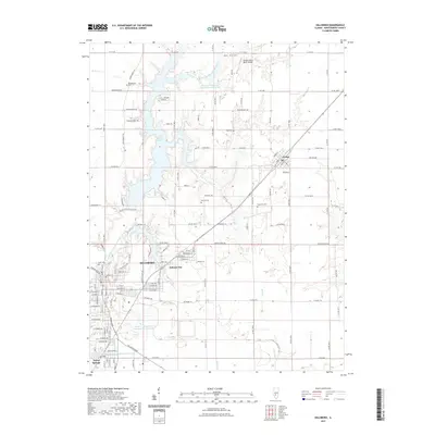
2021 Map of Hillsboro
USGS Topo · Published 2021About this map
Hillsboro serves as the central hub of this Montgomery County landscape, where the established town grid meets modern water management systems. To the north, the sprawling fingers of Lake Glenn Shoals and the Shoal Cr Watershed Impoundment Reservoir dominate the hydrology of the Middle Fork Shoal Creek valley. These reservoirs, alongside the American Zinc Smelter Company Large Lake near Taylor Springs, illustrate the intersection of industrial legacy and municipal utility.
Find a feature on this map
124 named features on this map. Tap any name to fly to it.
Don’t see what you’re looking for? This feature index may not catch every label — zoom into the map to look around manually.
Map Details
Editions of this 2021 Hillsboro Map
This is the sole edition of this map. No revisions or reprints were ever made.
Other maps of this area

1915 · Mount Olive
USGS Topo · 1:62,500

1923 · Raymond
USGS Topo · 1:62,500

1925 · Raymond
USGS Topo · 1:62,500

1944 · Mount Olive
USGS Topo · 1:62,500

1946 · Nokomis
USGS Topo · 1:62,500

1947 · Hillsboro
USGS Topo · 1:62,500

1949 · Hillsboro
USGS Topo · 1:62,500

1949 · Nokomis
USGS Topo · 1:62,500

1958 · Decatur
USGS Topo · 1:250,000

1961 · Decatur
USGS Topo · 1:250,000