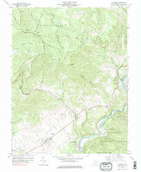
1977 Map of Hillsboro
USGS Topo · Published 1984About this map
The Pearl S Buck Birthplace stands as a prominent landmark in the Little Levels valley, a region of Pocahontas County characterized by its flat agricultural basin surrounded by the high ridges of the Monongahela National Forest. The settlement of Hillsboro serves as the local hub, while the Chesapeake and Ohio railroad corridor tracks the path of the Greenbrier River in the east, connecting the smaller hamlets of Seebert and Buckeye. This 1970s survey captures the landscape before major modern changes, showing the traditional placement of rural institutions like Marvin Chapel and the Advent Ch alongside mid-century additions like the Drive-in Theater near Buckeye. To the north, the Highland Scenic Highway winds through the high elevations of Cranberry Mountain and Black Mountain, providing access to the Cranberry Glades Overlook and the wilderness of the Cranberry River headwaters.
Find a feature on this map
53 named features on this map. Tap any name to fly to it.
Don’t see what you’re looking for? This feature index may not catch every label — zoom into the map to look around manually.
Map Details
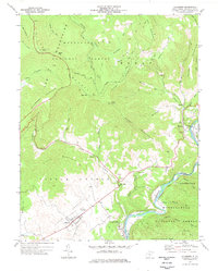
Editions of this 1977 Hillsboro Map
2 editions found
Other maps of this area

1891 · Huntersville
USGS Topo · 1:125,000

1894 · Huntersville
USGS Topo · 1:125,000

1915 · Webster Springs
USGS Topo · 1:48,000

1918 · Webster Springs
USGS Topo · 1:62,500

1923 · Lobelia
USGS Topo · 1:48,000

1923 · Marlinton
USGS Topo · 1:48,000

1923 · Mingo
USGS Topo · 1:48,000

1925 · Mingo
USGS Topo · 1:62,500

1925 · Marlinton
USGS Topo · 1:62,500

1925 · Lobelia
USGS Topo · 1:62,500