Loading...
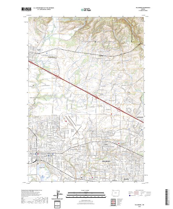
Loading map...2023 Map of Hillsboro
USGS Topo · Published 2023About this map
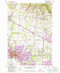
The Tualatin Valley floor is dominated by the sprawling urban footprint of Hillsboro, stretching from the industrial centers near Portland-Hillsboro Airport south to the wetlands of Jackson Bottom. This modern landscape preserves the names of its agricultural and early industrial past, including the planned company town of Orenco and the small communities of Reedville and Witch Hazel along the southern rail corridor.
Find a feature on this map
270 named features on this map. Tap any name to fly to it.
Don’t see what you’re looking for? This feature index may not catch every label — zoom into the map to look around manually.
Map Details
Date Portrayed2023
Date Published2023
PublisherU.S. Geological Survey
Map TypeTopographic
Scale1:24000
Physical Dimensions24 x 29 inches
Editions of this 2023 Hillsboro Map
This is the sole edition of this map. No revisions or reprints were ever made.
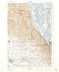
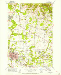
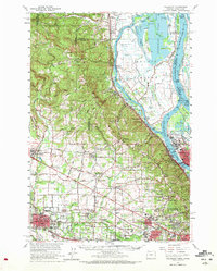
Historical Maps of Valle Vista Through Time
8 maps found


Featured Locations
Source Details
SourceU.S. Geological Survey
CopyrightPublic Domain