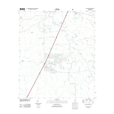
2012 Map of Hillsdale
USGS Topo · Published 2012About this map
The Wolf River and its numerous tributaries, including Hickory Cr and Alligator Cr, define the drainage patterns of this Pearl River County landscape. In the early 21st century, the area shows a mix of rural residential development and recreational infrastructure, most notably around the waters of Happiness Lake and Hillsdale Lake. The presence of the Wolf River Ranch Airport and the Hillsdale Golf Course suggests a shift toward modern land use, while the density of family-named cemeteries such as Felix Ladner Cem, Lumpkin Cem, and Byrd Line Cem provides a deep record of local lineage. The community of Hillsdale sits at a crossroads of several local thoroughfares, while the northern reaches include an Industrial Park near Lumberton City Cem. Swamplands like Bee Tree Brake and Grandpa Brake persist in the low-lying areas near the river.
Find a feature on this map
90 named features on this map. Tap any name to fly to it.
Don’t see what you’re looking for? This feature index may not catch every label — zoom into the map to look around manually.
Map Details
Editions of this 2012 Hillsdale Map
This is the sole edition of this map. No revisions or reprints were ever made.
Other maps of this area

1953 · Hattiesburg
USGS Topo · 1:250,000

1953 · Mobile
USGS Topo · 1:250,000

1957 · Mobile
USGS Topo · 1:250,000

1958 · Hattiesburg
USGS Topo · 1:250,000

1958 · Carnes
USGS Topo · 1:62,500

1959 · Poplarville
USGS Topo · 1:62,500

1960 · Mobile
USGS Topo · 1:250,000

1963 · Mobile
USGS Topo · 1:250,000

1963 · Rock Hill
USGS Topo · 1:24,000

1964 · Lumberton
USGS Topo · 1:24,000