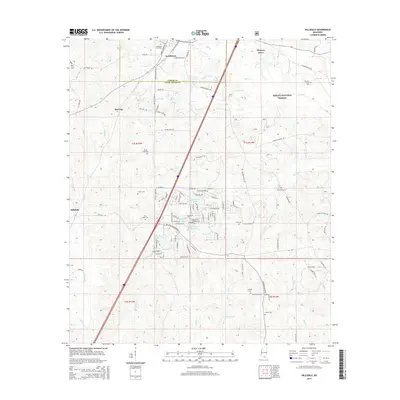
2015 Map of Hillsdale
USGS Topo · Published 2015About this map
Lumberton and Hillsdale anchor this South Mississippi landscape where the southern edge of the DeSoto National Forest meets a series of family-named settlements and cemeteries. The terrain is defined by the drainage of the Wolf River and its numerous tributaries, including Alligator Cr, Murder Cr, and Hickory Cr. The map reveals a dense network of local roads such as Heber Ladner Dr and Gumpond Beall Rd, which connect rural residences to historic burial grounds like the Lumpkin Cem and Ladner Cem. A cluster of residential developments around Happiness Lake and Catfish Lake demonstrates how the local landscape has been shaped for recreation, while the Lamar and Pearl River county line bisects the northern reach near the Lumberton City Cem.
Find a feature on this map
107 named features on this map. Tap any name to fly to it.
Don’t see what you’re looking for? This feature index may not catch every label — zoom into the map to look around manually.
Map Details
Editions of this 2015 Hillsdale Map
This is the sole edition of this map. No revisions or reprints were ever made.
Other maps of this area

1953 · Hattiesburg
USGS Topo · 1:250,000

1953 · Mobile
USGS Topo · 1:250,000

1957 · Mobile
USGS Topo · 1:250,000

1958 · Hattiesburg
USGS Topo · 1:250,000

1958 · Carnes
USGS Topo · 1:62,500

1959 · Poplarville
USGS Topo · 1:62,500

1960 · Mobile
USGS Topo · 1:250,000

1963 · Mobile
USGS Topo · 1:250,000

1963 · Rock Hill
USGS Topo · 1:24,000

1964 · Lumberton
USGS Topo · 1:24,000