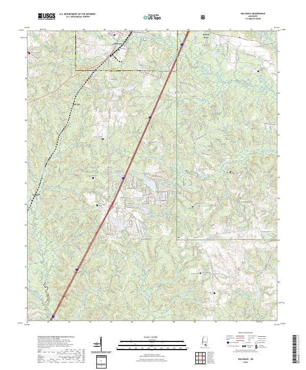
2024 Map of Hillsdale
USGS Topo · Published 2024About this map
Lumberton serves as the primary hub in this corner of Southern Mississippi, situated along the border of Lamar County and Pearl River County. The landscape is a complex network of wetlands and sluggish water bodies, characterized by numerous breaks and prongs such as Bee Tree Brake, John Davis Brake, and Bushy Prong. To the east, the De Soto National Forest covers a significant portion of the terrain, while the Wolf River and Red Creek drain the surrounding timberlands.
Find a feature on this map
128 named features on this map. Tap any name to fly to it.
Don’t see what you’re looking for? This feature index may not catch every label — zoom into the map to look around manually.
Map Details
Editions of this 2024 Hillsdale Map
This is the sole edition of this map. No revisions or reprints were ever made.
Other maps of this area

1953 · Hattiesburg
USGS Topo · 1:250,000

1953 · Mobile
USGS Topo · 1:250,000

1957 · Mobile
USGS Topo · 1:250,000

1958 · Hattiesburg
USGS Topo · 1:250,000

1958 · Carnes
USGS Topo · 1:62,500

1959 · Poplarville
USGS Topo · 1:62,500

1960 · Mobile
USGS Topo · 1:250,000

1963 · Mobile
USGS Topo · 1:250,000

1963 · Rock Hill
USGS Topo · 1:24,000

1964 · Lumberton
USGS Topo · 1:24,000