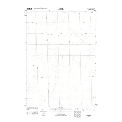
2012 Map of Hillside
USGS Topo · Published 2012About this map
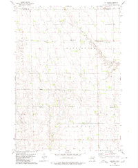
Hillside sits at the center of this rural South Dakota landscape, characterized by a highly organized grid of section-line roads such as 399th Ave and 270th St. The area's settlement history is deeply tied to its small community cemeteries, which serve as primary landmarks across the rolling prairie. Notable sites include Saint John Cem near the town center and Friedhof Cem to the east, along with Roberts Chapel Cem and Evangelic Cem further south. These burial grounds, often associated with early churches, provide essential points of reference for genealogists tracing family roots in Douglas County. The natural drainage of the land is defined by the winding path of S Fork Twelvemile Cr, which cuts diagonally through the northern townships, joined by smaller tributaries like Coffee Cr and Pony Cr in the southeast.
Find a feature on this map
26 named features on this map. Tap any name to fly to it.
Don’t see what you’re looking for? This feature index may not catch every label — zoom into the map to look around manually.
Map Details
Editions of this 2012 Hillside Map
This is the sole edition of this map. No revisions or reprints were ever made.
Other maps of this area

1899 · Mitchell
USGS Topo · 1:125,000

1955 · Mitchell
USGS Topo · 1:250,000

1959 · Mitchell
USGS Topo · 1:250,000

1979 · Delmont
USGS Topo · 1:24,000
1979 · Delmont NE
USGS Topo · 1:24,000
1979 · Delmont SE
USGS Topo · 1:24,000
1979 · Armour
USGS Topo · 1:24,000
1979 · Hillside
USGS Topo · 1:24,000

1980 · Corsica Lake
USGS Topo · 1:24,000

1980 · Old Stickney Lake
USGS Topo · 1:24,000