2021 Map of Hillside
USGS Topo · Published 2021About this map
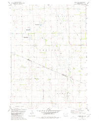
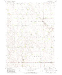
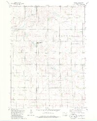
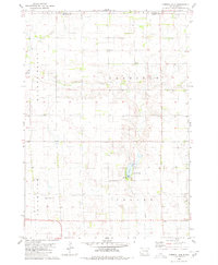
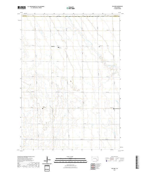
Hillside sits at the heart of this agricultural landscape in Douglas County, defined by a grid of section roads and the winding path of S Fork Twelvemile Creek. The map reveals a strong local heritage preserved in its rural burial grounds, including Saint John Cemetery, Friedhof Cemetery, Roberts Chapel Cemetery, and Evangelic Cemetery. These landmarks, often situated near township lines like t100n r62w, serve as the primary anchors for a dispersed farming community. Drainage across the plains is managed by several intermittent waterways, such as Coffee Creek and Pony Creek, which flow toward the more prominent creek forks. The area is intersected by local thoroughfares including County Highway 560 and County Road 3, which facilitate travel between the varied farmsteads that dot the prairie.
Find a feature on this map
30 named features on this map. Tap any name to fly to it.
Don’t see what you’re looking for? This feature index may not catch every label — zoom into the map to look around manually.
Map Details
Editions of this 2021 Hillside Map
This is the sole edition of this map. No revisions or reprints were ever made.
Historical Maps of Valley Township Through Time
8 maps found