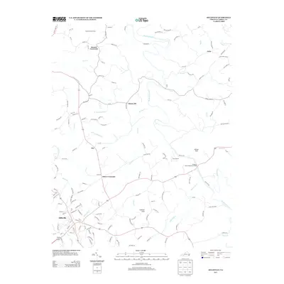
2013 Map of Hillsville
USGS Topo · Published 2013About this map
Hillsville serves as the primary hub in this Carroll County landscape, where the confluence of local roads and watercourses defines the area's development. The map details a network of rural settlements and named junctions, including Mabry Crossroads, Mitchell Crossroads, and Liberty Hill. These points of interest are connected by routes like Va-753 and Ocala Rd, tracing the winding path of Big Reed Island Cr as it carves through the terrain.
Find a feature on this map
142 named features on this map. Tap any name to fly to it.
Don’t see what you’re looking for? This feature index may not catch every label — zoom into the map to look around manually.
Map Details
Editions of this 2013 Hillsville Map
This is the sole edition of this map. No revisions or reprints were ever made.
Other maps of this area

1889 · Hillsville
USGS Topo · 1:125,000

1892 · Hillsville
USGS Topo · 1:125,000

1896 · Hillsville
USGS Topo · 1:125,000

1930 · Max Meadows
USGS Topo · 1:62,500

1931 · Galax
USGS Topo · 1:48,000

1933 · Galax
USGS Topo · 1:62,500

1953 · Winston-Salem
USGS Topo · 1:250,000

1955 · Winston-Salem
USGS Topo · 1:250,000

1956 · Macks Mountain
USGS Topo · 1:62,500

1957 · Mount Airy
USGS Topo · 1:62,500