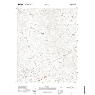
2019 Map of Hillsville
USGS Topo · Published 2019About this map
The Carroll County Courthouse stands as the civic heart of Hillsville, where the transition from town streets to the rolling Blue Ridge plateau is immediate. This 2019 survey captures the density of long-standing family history through an extensive network of small burial grounds, such as the Theophilus Quesenberry Cem, Easily Marshall Cem, and Green B Mabry Cem. The landscape is deeply carved by the Big Reed Island Creek and its many tributaries, including Little Snake Cr and Beaverdam Cr.
Find a feature on this map
162 named features on this map. Tap any name to fly to it.
Don’t see what you’re looking for? This feature index may not catch every label — zoom into the map to look around manually.
Map Details
Editions of this 2019 Hillsville Map
This is the sole edition of this map. No revisions or reprints were ever made.
Other maps of this area

1889 · Hillsville
USGS Topo · 1:125,000

1892 · Hillsville
USGS Topo · 1:125,000

1896 · Hillsville
USGS Topo · 1:125,000

1930 · Max Meadows
USGS Topo · 1:62,500

1931 · Galax
USGS Topo · 1:48,000

1933 · Galax
USGS Topo · 1:62,500

1953 · Winston-Salem
USGS Topo · 1:250,000

1955 · Winston-Salem
USGS Topo · 1:250,000

1956 · Macks Mountain
USGS Topo · 1:62,500

1957 · Mount Airy
USGS Topo · 1:62,500