2022 Map of Hillsville
USGS Topo · Published 2022About this map
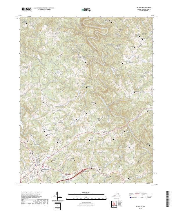
The Carroll County Courthouse stands as the central landmark for this section of Southwest Virginia, surrounded by a dense network of family cemeteries that speak to the deep genealogical roots of the region. The landscape is defined by the winding course of Big Reed Island Creek and its many tributaries, including Little Snake Cr and Beaverdam Cr. Significant local history is preserved in the names of numerous burial grounds like the Montgomery Family Cem, Theophilus Quesenberry Cem, and the Dalton-Horton Cem. These sites, alongside congregations such as Allison Chapel Church of God and Panther Creek Church, map out the social and religious centers for communities near Eagle Heaven Hts and Forest View Hts. The complex topography of Raven Ridge and Burks Fork highlights the traditional Appalachian settlement patterns where homesteads and small family plots were tucked into the valleys and ridges of Carroll County.
Find a feature on this map
145 named features on this map. Tap any name to fly to it.
Don’t see what you’re looking for? This feature index may not catch every label — zoom into the map to look around manually.
Map Details
Editions of this 2022 Hillsville Map
This is the sole edition of this map. No revisions or reprints were ever made.
Historical Maps of Star Through Time
5 maps found