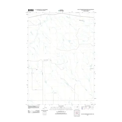
2012 Map of Hilltop Diamond Ring Ranch
USGS Topo · Published 2012About this map
Hilltop Diamond Ring Ranch and other family-named ranching operations define this stretch of Haakon County. The landscape is carved by a network of seasonal watercourses, including Plum Cr, Cottonwood Cr, and the winding path of Burnt Cr. These drainages dictate the placement of local homesteads and travel routes across the northern Great Plains. Genealogy researchers will find the Mattison Cem situated along 237th Ave, a local landmark in an area otherwise characterized by large private holdings such as Golden Willow Ranch and Willoughby Ranch. The map illustrates the rural infrastructure of the early 21st century, where section roads like Ottumwa Rd provide the primary connection between isolated ranching headquarters like Foland Ranch.
Find a feature on this map
13 named features on this map. Tap any name to fly to it.
Don’t see what you’re looking for? This feature index may not catch every label — zoom into the map to look around manually.
Map Details
Editions of this 2012 Hilltop Diamond Ring Ranch Map
This is the sole edition of this map. No revisions or reprints were ever made.
Other maps of this area

1954 · Pierre
USGS Topo · 1:250,000

1958 · Pierre
USGS Topo · 1:250,000

1982 · Midland NW
USGS Topo · 1:24,000

1982 · May Ranch
USGS Topo · 1:24,000

1983 · Bentley Ranch
USGS Topo · 1:24,000

1983 · Mule Creek
USGS Topo · 1:24,000

1983 · Philip
USGS Topo · 1:100,000

1983 · Moenville
USGS Topo · 1:24,000

1983 · Middle Draw
USGS Topo · 1:24,000

1983 · Powell NW
USGS Topo · 1:24,000