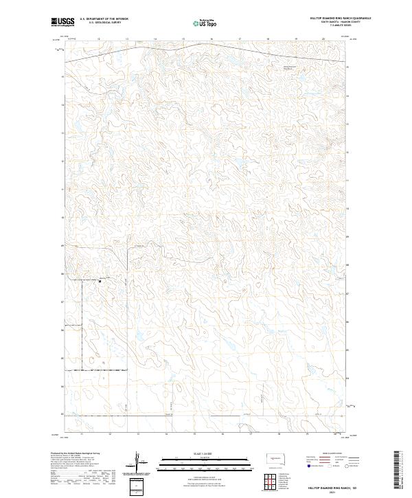
2021 Map of Hilltop Diamond Ring Ranch
USGS Topo · Published 2021About this map
Hilltop Diamond Ring Ranch is the primary namesake of this high plains area in Haakon County. The landscape is defined by the dendritic drainage patterns of Cottonwood Cr, Plum Cr, and Burnt Cr, which create a series of subtle ridges and coulees. This rural cattle country is mapped with precision, showing the grid of section lines and the isolated ranching infrastructure that characterizes western South Dakota. For genealogists and local historians, the Mattison Cem offers a specific point of interest in the southwestern portion of the township. Local transit is limited to unpaved section roads like Ottumwa Rd and Teaney Rd, illustrating the low density of human settlement and the dominance of the open range at the time of this 2021 survey.
Find a feature on this map
17 named features on this map. Tap any name to fly to it.
Don’t see what you’re looking for? This feature index may not catch every label — zoom into the map to look around manually.
Map Details
Editions of this 2021 Hilltop Diamond Ring Ranch Map
This is the sole edition of this map. No revisions or reprints were ever made.
Other maps of this area

1954 · Pierre
USGS Topo · 1:250,000

1958 · Pierre
USGS Topo · 1:250,000

1982 · Midland NW
USGS Topo · 1:24,000

1982 · May Ranch
USGS Topo · 1:24,000

1983 · Bentley Ranch
USGS Topo · 1:24,000

1983 · Mule Creek
USGS Topo · 1:24,000

1983 · Philip
USGS Topo · 1:100,000

1983 · Moenville
USGS Topo · 1:24,000

1983 · Middle Draw
USGS Topo · 1:24,000

1983 · Powell NW
USGS Topo · 1:24,000