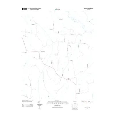
2013 Map of Hillville
USGS Topo · Published 2013About this map
The Hatchie River meanders through the northern portion of this West Tennessee landscape, creating a complex wetland environment known as Hatchie Bottom. This area is defined by its fluvial history, evidenced by features such as Horseshoe Cutoff, The Big Eddy, and several oxbow formations like Horseshoe Lake and Powell Lake. The rural character of Hardeman County is preserved in the small settlements and crossroads that anchor the local road network.
Find a feature on this map
55 named features on this map. Tap any name to fly to it.
Don’t see what you’re looking for? This feature index may not catch every label — zoom into the map to look around manually.
Map Details
Editions of this 2013 Hillville Map
This is the sole edition of this map. No revisions or reprints were ever made.
Other maps of this area

1950 · Sunnyhill
USGS Topo · 1:24,000

1950 · Brownsville
USGS Topo · 1:24,000

1951 · Brownsville
USGS Topo · 1:24,000

1951 · Sunnyhill
USGS Topo · 1:24,000

1952 · Dancyville
USGS Topo · 1:24,000

1952 · Laconia
USGS Topo · 1:24,000

1952 · Stanton
USGS Topo · 1:62,500

1956 · Blytheville
USGS Topo · 1:250,000

1959 · Blytheville
USGS Topo · 1:250,000

1959 · Denmark
USGS Topo · 1:24,000