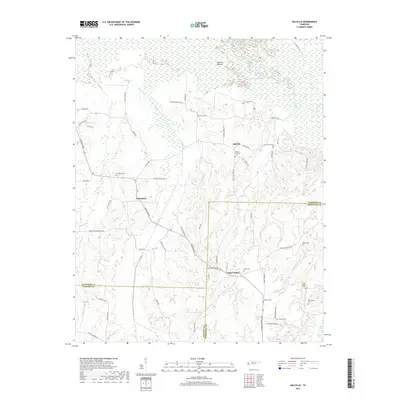
2019 Map of Hillville
USGS Topo · Published 2019About this map
Hatchie River dominates the northern landscape of this region, winding through the broad Hatchie Bottom and leaving behind distinctive oxbow formations like Horseshoe Lake and Powell Lake. The terrain here is defined by this river system and its various tributaries, including Bear Creek and Poplar Cr, which carve through the land south toward the tri-county meeting point of Haywood, Hardeman, and Fayette counties.
Find a feature on this map
69 named features on this map. Tap any name to fly to it.
Don’t see what you’re looking for? This feature index may not catch every label — zoom into the map to look around manually.
Map Details
Editions of this 2019 Hillville Map
This is the sole edition of this map. No revisions or reprints were ever made.
Other maps of this area

1950 · Sunnyhill
USGS Topo · 1:24,000

1950 · Brownsville
USGS Topo · 1:24,000

1951 · Brownsville
USGS Topo · 1:24,000

1951 · Sunnyhill
USGS Topo · 1:24,000

1952 · Dancyville
USGS Topo · 1:24,000

1952 · Laconia
USGS Topo · 1:24,000

1952 · Stanton
USGS Topo · 1:62,500

1956 · Blytheville
USGS Topo · 1:250,000

1959 · Blytheville
USGS Topo · 1:250,000

1959 · Denmark
USGS Topo · 1:24,000