Loading...
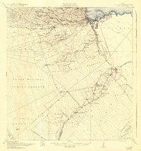
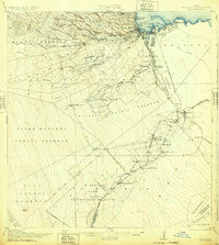
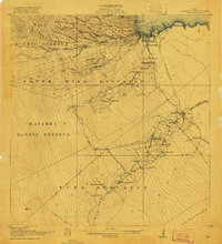
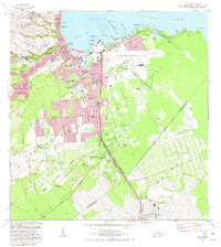
Loading map...1932 Map of Hilo
USGS Topo · Published 1943About this map
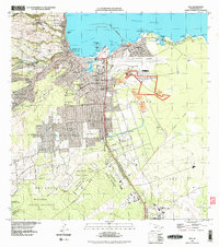
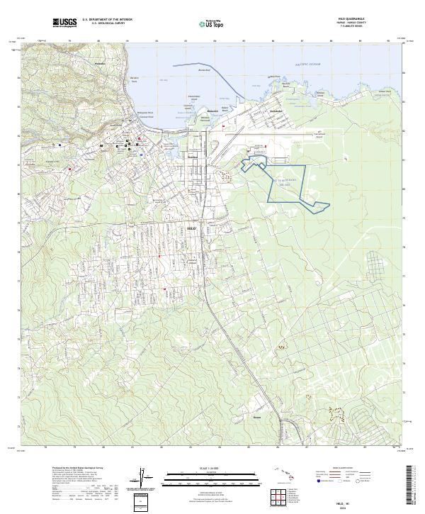
Hilo serves as the focal point of this coastal survey, where the Wailuku River meets Hilo Bay near the industrial waterfront of Wainaku Mill and Puneo. The landscape reveals a complex network of sugar production and transport, characterized by the extensive system of camps such as Camp Two through Camp Eight and the Olaa Plantation Mill. These workforce settlements are supported by infrastructure like the Hilo RR and its Puna Branch, which connected the coastal harbor to the inland Olaa Reservation Lots.
Find a feature on this map
72 named features on this map. Tap any name to fly to it.
Don’t see what you’re looking for? This feature index may not catch every label — zoom into the map to look around manually.
Map Details
Date Portrayed1932
Date Published1943
PublisherU.S. Geological Survey
Map TypeTopographic
Scale1:62,500
Physical Dimensions18.5 x 19.9 inches
Editions of this 1932 Hilo Map
2 editions found
Historical Maps of Hilo Through Time
9 maps found

Featured Locations
Source Details
SourceU.S. Geological Survey
CopyrightPublic Domain