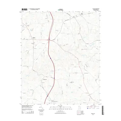
2014 Map of Hilyer
USGS Topo · Published 2014About this map
Hilyer and the surrounding rural communities of Troup County are defined by a network of family-named crossroads and watercourses. Small settlements like Pleasant Grove and Smiths Mill anchor a landscape where local history is recorded in numerous small burial grounds, including the Rakestraw Cem, McGee Cem, and O'Neal Cem. The terrain is drained by a system of winding creeks, most notably Flat Shoal Creek and Turkey Cr, which once powered the early industries suggested by local place names.
Find a feature on this map
91 named features on this map. Tap any name to fly to it.
Don’t see what you’re looking for? This feature index may not catch every label — zoom into the map to look around manually.
Map Details
Editions of this 2014 Hilyer Map
This is the sole edition of this map. No revisions or reprints were ever made.
Other maps of this area

1899 · Wedowee
USGS Topo · 1:125,000

1902 · Wedowee
USGS Topo · 1:125,000

1907 · Talbotton
USGS Topo · 1:125,000

1907 · Opelika
USGS Topo · 1:125,000

1909 · Opelika
USGS Topo · 1:125,000

1953 · Atlanta
USGS Topo · 1:250,000

1955 · Phenix City
USGS Topo · 1:250,000

1957 · Phenix City
USGS Topo · 1:250,000

1957 · Atlanta
USGS Topo · 1:250,000

1958 · Phenix City
USGS Topo · 1:250,000