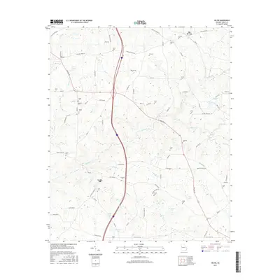
2017 Map of Hilyer
USGS Topo · Published 2017About this map
Smiths Mill and the surrounding Troup County countryside are characterized by a network of family-named cemeteries and winding creeks. This landscape reflects a long history of rural settlement, where small communities like Hilyer and Big Springs grew along early transit routes. Numerous family burial grounds, including the Daniel Cem, Talley Cem, and Sledge Cem, provide a critical spatial record for genealogists tracing the legacy of local inhabitants. The topography is defined by the drainages of Mud Cr and Flat Shoal Cr, which feed into several larger water bodies such as Ouvre Lake and Champion Lake. The presence of Vulcan Materials Rd indicates the ongoing industrial utility of the land, while the dense grid of county roads like Lower Big Springs Rd and Hamilton Rd connects these disparate rural hubs.
Find a feature on this map
85 named features on this map. Tap any name to fly to it.
Don’t see what you’re looking for? This feature index may not catch every label — zoom into the map to look around manually.
Map Details
Editions of this 2017 Hilyer Map
This is the sole edition of this map. No revisions or reprints were ever made.
Other maps of this area

1899 · Wedowee
USGS Topo · 1:125,000

1902 · Wedowee
USGS Topo · 1:125,000

1907 · Talbotton
USGS Topo · 1:125,000

1907 · Opelika
USGS Topo · 1:125,000

1909 · Opelika
USGS Topo · 1:125,000

1953 · Atlanta
USGS Topo · 1:250,000

1955 · Phenix City
USGS Topo · 1:250,000

1957 · Phenix City
USGS Topo · 1:250,000

1957 · Atlanta
USGS Topo · 1:250,000

1958 · Phenix City
USGS Topo · 1:250,000