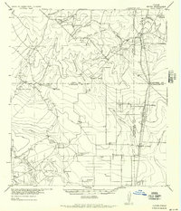
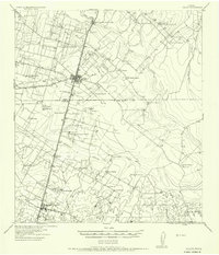
1956 Map of Hindes
USGS Topo · Published 1956About this map
Ranching life and rail transportation define this South Texas landscape where the boundaries of Frio, Atascosa, La Salle, and McMullen counties converge. The San Antonio Uvalde and Gulf (Missouri Pacific) railroad runs north-to-south through the eastern half of the quadrangle, serving local stops like Prince Siding and Zella Siding. The settlement of Hindes sits near the northern edge, supported by rural institutions such as the Arnold School.
Find a feature on this map
41 named features on this map. Tap any name to fly to it.
Don’t see what you’re looking for? This feature index may not catch every label — zoom into the map to look around manually.
Map Details
Editions of this 1956 Hindes Map
This is the sole edition of this map. No revisions or reprints were ever made.
Other maps of this area
1927 · Pearsall
USGS Topo · 1:62,500
1929 · Cotulla
USGS Topo · 1:125,000
1930 · Tilden
USGS Topo · 1:62,500
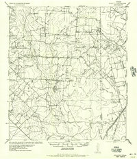
1934 · Schattel
USGS Topo · 1:62,500
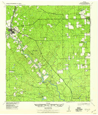
1940 · Cotulla
USGS Topo · 1:62,500
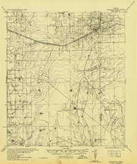
1942 · Fowlerton
USGS Topo · 1:62,500
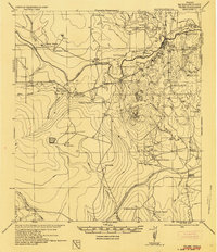
1942 · Tilden
USGS Topo · 1:62,500
1942 · Dilley
USGS Topo · 1:62,500
1953 · Crystal City
USGS Topo · 1:250,000
1955 · Crystal City
USGS Topo · 1:250,000