
1948 Map of Hindustan
USGS Topo · Published 1948About this map
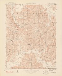
Hindustan and the surrounding timberlands of the Morgan-Monroe State Forest define this 1948 survey of the rugged borderlands between Morgan and Monroe counties. The landscape is characterized by a dense network of ridges and deep hollows, such as Mason Ridge, Ira Hackel Ridge, and Deadman Hollow, which dictated the early settlement patterns of the region. Small rural centers like Fleener and Farr are visible, alongside established community anchors including the Honey Creek Sch, Liberty Ch, and Bethany Temple.
Find a feature on this map
49 named features on this map. Tap any name to fly to it.
Don’t see what you’re looking for? This feature index may not catch every label — zoom into the map to look around manually.
Map Details
Editions of this 1948 Hindustan Map
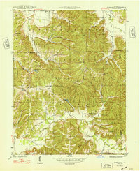
3 editions found
Other maps of this area

1908 · Bloomington
USGS Topo · 1:48,000

1910 · Bloomington
USGS Topo · 1:62,500

1942 · Franklin
USGS Topo · 1:125,000

1946 · Belmont
USGS Topo · 1:24,000

1947 · Unionville
USGS Topo · 1:24,000

1948 · Morgantown
USGS Topo · 1:24,000

1950 · Belmont
USGS Topo · 1:24,000

1950 · Morgantown
USGS Topo · 1:24,000

1953 · Indianapolis
USGS Topo · 1:250,000

1955 · Cope
USGS Topo · 1:24,000