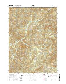
2017 Map of Hinkle Creek
USGS Topo · Published 2017About this map
Hawthorne and its surrounding drainages in Douglas County are documented here as of 2017, showing a landscape defined by industrial forest management and steep creek valleys. The drainage systems of Calapooya Creek and Hinkle Creek carve through the terrain, separated by prominent elevations such as Timothy Ridge, Taylor Ridge, and Haney Ridge. This modern survey details the extensive network of Bureau of Land Management roads, including BLM RD 24 3 31 and BLM RD 25 4 19 0, which provide access to the timberlands and distinctive peaks like Gobblers Knob, The Buttes, and Yellow Butte. The map illustrates how current land use remains tied to the local watercourses, from Buzzard Roost Cr to S Fork Hinkle Cr, reflecting the region's long-standing reliance on its natural topography and resource-based infrastructure.
Find a feature on this map
64 named features on this map. Tap any name to fly to it.
Don’t see what you’re looking for? This feature index may not catch every label — zoom into the map to look around manually.
Map Details
Editions of this 2017 Hinkle Creek Map
This is the sole edition of this map. No revisions or reprints were ever made.
Other maps of this area

1897 · Roseburg
USGS Topo · 1:125,000

1900 · Roseburg
USGS Topo · 1:125,000

1935 · Lowell
USGS Topo · 1:96,000

1942 · Lowell
USGS Topo · 1:125,000

1954 · Anlauf
USGS Topo · 1:62,500

1954 · Glide
USGS Topo · 1:62,500

1955 · Mace Mtn
USGS Topo · 1:62,500

1955 · Culp Creek
USGS Topo · 1:62,500

1958 · Roseburg
USGS Topo · 1:250,000

1959 · Roseburg
USGS Topo · 1:250,000