Loading...
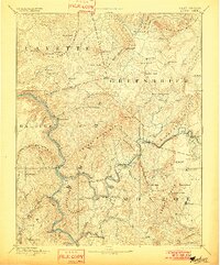
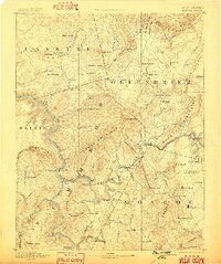
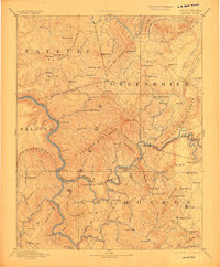
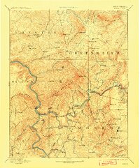
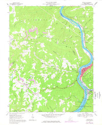
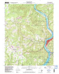
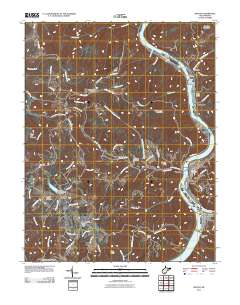
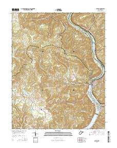
Loading map...1892 Map of Hinton
USGS Topo · Published 1901About this map
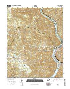
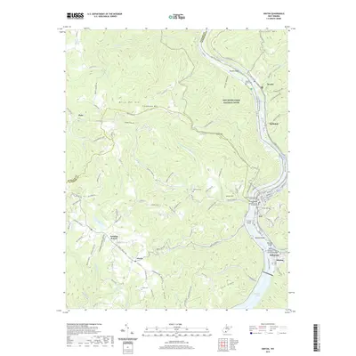
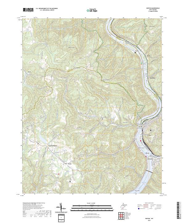
The New River and Greenbrier River converge at Hinton, forming a critical late-19th-century transportation hub where the Chesapeake and Ohio Railroad follows the winding river canyons. This survey, based on work from the 1880s, documents the industrial and agricultural infrastructure of the era, including the Greenbrier Stock Yards and the significant engineering feats required to navigate the Allegheny Mountains, such as the Big Bend Tunnel and Howards Creek Tunnel.
Find a feature on this map
116 named features on this map. Tap any name to fly to it.
Don’t see what you’re looking for? This feature index may not catch every label — zoom into the map to look around manually.
Map Details
Date Portrayed1892
Date Published1901
PublisherU.S. Geological Survey
Map TypeTopographic
Scale1:125,000
Physical Dimensions16.51 x 19.92 inches
Editions of this 1892 Hinton Map
5 editions found

Historical Maps of Hinton Through Time
9 maps found

Featured Locations
Source Details
SourceU.S. Geological Survey
CopyrightPublic Domain