
1892 Map of Hinton
USGS Topo · Published 1892About this map
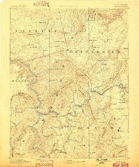
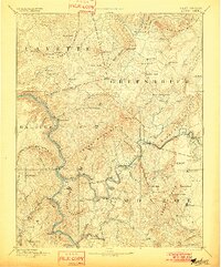
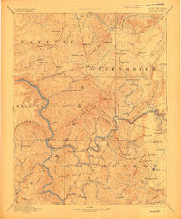
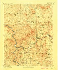
Hinton serves as a vital focal point where the Chesapeake and Ohio Railroad meets the river, establishing the region as a primary transportation corridor through the Allegheny Mountains. This late 19th-century survey by Morris Bien and R.C. McKinney documents a landscape defined by engineering feats, including the massive Big Bend Tunnel and Howards Creek Tunnel, which enabled rail passage through the complex terrain of Keeney Mountain and Wolf Creek Mountain.
Find a feature on this map
126 named features on this map. Tap any name to fly to it.
Don’t see what you’re looking for? This feature index may not catch every label — zoom into the map to look around manually.
Map Details
Editions of this 1892 Hinton Map
5 editions found
Other maps of this area

1887 · Pocahontas
USGS Topo · 1:125,000

1887 · Hinton
USGS Topo · 1:125,000

1887 · Lewisburg
USGS Topo · 1:125,000

1889 · Nicholas
USGS Topo · 1:125,000

1890 · Dublin
USGS Topo · 1:125,000

1890 · Christiansburg
USGS Topo · 1:125,000

1891 · Lewisburg
USGS Topo · 1:125,000

1891 · Nicholas
USGS Topo · 1:125,000

1891 · Huntersville
USGS Topo · 1:125,000

1891 · Pocahontas
USGS Topo · 1:125,000