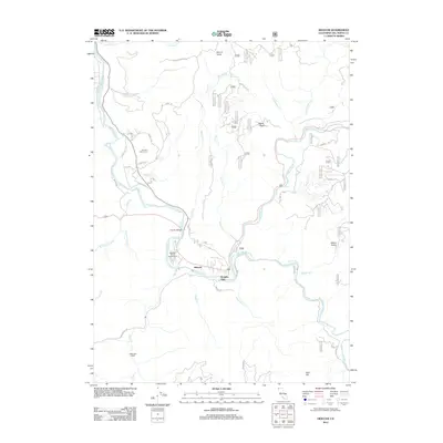
2012 Map of Hiouchi
USGS Topo · Published 2012About this map
The Smith River and its major tributaries, including the S Fork Smith River, define the landscape of this northern California region. Centered near the settlement of Hiouchi, the map shows the transition from valley floor to the rising timberlands. Significant local landmarks like the Hiouchi Bridge and Jedediah Smith Campground reflect the area's role as a gateway for river access and forest recreation.
Find a feature on this map
45 named features on this map. Tap any name to fly to it.
Don’t see what you’re looking for? This feature index may not catch every label — zoom into the map to look around manually.
Map Details
Editions of this 2012 Hiouchi Map
This is the sole edition of this map. No revisions or reprints were ever made.
Other maps of this area

1922 · Preston Peak
USGS Topo · 1:125,000

1929 · Crescent City
USGS Topo · 1:125,000

1945 · Ship Mountain
USGS Topo · 1:62,500

1945 · Gasquet
USGS Topo · 1:62,500

1945 · Point St. George
USGS Topo · 1:62,500

1945 · Requa
USGS Topo · 1:62,500

1948 · Weed
USGS Topo · 1:250,000

1949 · Eureka
USGS Topo · 1:250,000

1950 · Weed
USGS Topo · 1:250,000

1951 · Gasquet
USGS Topo · 1:62,500