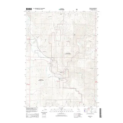
2015 Map of Hiouchi
USGS Topo · Published 2015About this map
The confluence of the Smith River and the South Fork Smith River serves as the focal point for this Northern California landscape, where the settlements of Hiouchi and Douglas Park are positioned along the river bends. The area is defined by the overlap of protected lands, including Redwood National Park to the west and the Six Rivers National Forest to the east. Transportation through the winding river canyons is facilitated by the Hiouchi Bridge and a network of secondary roads such as Northbank Rd and Howland Hill Rd.
Find a feature on this map
46 named features on this map. Tap any name to fly to it.
Don’t see what you’re looking for? This feature index may not catch every label — zoom into the map to look around manually.
Map Details
Editions of this 2015 Hiouchi Map
This is the sole edition of this map. No revisions or reprints were ever made.
Other maps of this area

1922 · Preston Peak
USGS Topo · 1:125,000

1929 · Crescent City
USGS Topo · 1:125,000

1945 · Ship Mountain
USGS Topo · 1:62,500

1945 · Gasquet
USGS Topo · 1:62,500

1945 · Point St. George
USGS Topo · 1:62,500

1945 · Requa
USGS Topo · 1:62,500

1948 · Weed
USGS Topo · 1:250,000

1949 · Eureka
USGS Topo · 1:250,000

1950 · Weed
USGS Topo · 1:250,000

1951 · Gasquet
USGS Topo · 1:62,500