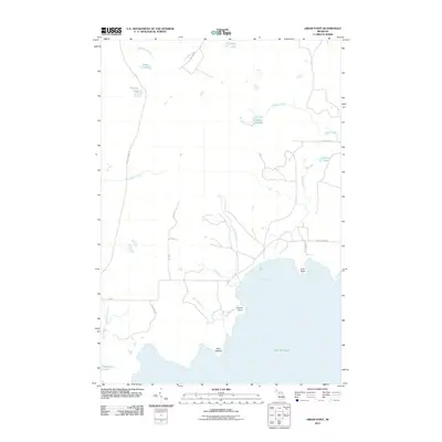
2011 Map of Hiram Point
USGS Topo · Published 2011About this map
Hiram Point and Point O'Keefe define the northern shoreline of Lake Michigan in this coastal Delta County survey. The landscape is characterized by a network of drainage systems including Parent Creek, Poodle Pete Creek, and Birch Creek, which feed into the expansive Parent Bay. Further inland, the geography transitions into a wetland and woodland mosaic, marked by significant water bodies such as Lake Thirteen, Halfway Lake, and McGinn Lake. Transport patterns are defined by a mix of local routes like Garden Grade Rd and Gotomine Rd, alongside the RR-75/100 railroad corridor that cuts through the western section. The presence of Bursaw Marsh and numerous smaller creeks indicates a low-lying, water-dominant environment just north of the Little Harbor area.
Find a feature on this map
29 named features on this map. Tap any name to fly to it.
Don’t see what you’re looking for? This feature index may not catch every label — zoom into the map to look around manually.
Map Details
Editions of this 2011 Hiram Point Map
This is the sole edition of this map. No revisions or reprints were ever made.
Other maps of this area

1931 · Cooks NE
USGS Topo · 1:31,680

1931 · Cooks NW
USGS Topo · 1:31,680

1932 · Burnt Bluff NE
USGS Topo · 1:31,680

1932 · Garden SE
USGS Topo · 1:31,680

1932 · Garden NE
USGS Topo · 1:31,680

1954 · Escanaba
USGS Topo · 1:250,000

1957 · Escanaba
USGS Topo · 1:250,000

1958 · Escanaba
USGS Topo · 1:250,000

1958 · Cooks
USGS Topo · 1:62,500

1958 · Garden
USGS Topo · 1:62,500