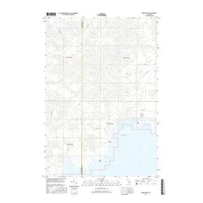
2017 Map of Hiram Point
USGS Topo · Published 2017About this map
Lake Michigan dominates the southern reaches of this shoreline survey, where rocky protrusions like Hiram Point and Point O'Keefe define the coast of Garden Township. The interior landscape is a complex network of wetlands and small water bodies, notably Bursaw Marsh and a cluster of inland lakes including Lake Thirteen and Makel Lake. This area at the border of Delta and Schoolcraft Counties reflects a classic Upper Peninsula wilderness pattern, where water dictates the path of travel.
Find a feature on this map
36 named features on this map. Tap any name to fly to it.
Don’t see what you’re looking for? This feature index may not catch every label — zoom into the map to look around manually.
Map Details
Editions of this 2017 Hiram Point Map
This is the sole edition of this map. No revisions or reprints were ever made.
Other maps of this area

1931 · Cooks NE
USGS Topo · 1:31,680

1931 · Cooks NW
USGS Topo · 1:31,680

1932 · Burnt Bluff NE
USGS Topo · 1:31,680

1932 · Garden SE
USGS Topo · 1:31,680

1932 · Garden NE
USGS Topo · 1:31,680

1954 · Escanaba
USGS Topo · 1:250,000

1957 · Escanaba
USGS Topo · 1:250,000

1958 · Escanaba
USGS Topo · 1:250,000

1958 · Cooks
USGS Topo · 1:62,500

1958 · Garden
USGS Topo · 1:62,500