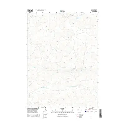
2014 Map of Hire
USGS Topo · Published 2014About this map
Hire sits within the Sandhills of Cherry County, a landscape defined by its complex drainage networks and scattered wetlands. The topography is dominated by the winding paths of the N Br Middle Loup River and the Middle Br Middle Loup River, which carve through the dune-like terrain of the Nebraska interior. This 2014 survey captures the area at a time when local land use remained tied to these critical water sources and the occasional oasis provided by features like Fender Lake and Calf Cr. The map's contour lines reveal the rolling, repetitive nature of the region's hills, where the sparse settlement of Hire serves as a lone named point of orientation in an otherwise expansive ranching landscape.
Find a feature on this map
5 named features on this map. Tap any name to fly to it.
Don’t see what you’re looking for? This feature index may not catch every label — zoom into the map to look around manually.
Map Details
Editions of this 2014 Hire Map
This is the sole edition of this map. No revisions or reprints were ever made.
Other maps of this area

1948 · Whitman
USGS Topo · 1:62,500

1949 · Steverson Lake
USGS Topo · 1:62,500

1950 · Whitman
USGS Topo · 1:62,500

1950 · Hire
USGS Topo · 1:62,500

1950 · Wolf Lake
USGS Topo · 1:62,500

1951 · Steverson Lake
USGS Topo · 1:62,500

1951 · Wolf Lake
USGS Topo · 1:62,500

1957 · Valentine
USGS Topo · 1:250,000

1959 · Valentine
USGS Topo · 1:250,000

1985 · Mullen
USGS Topo · 1:100,000