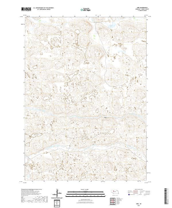
2021 Map of Hire
USGS Topo · Published 2021About this map
Hire sits at the center of this 2021 topographic survey, located in the cattle country of Cherry County. The landscape is defined by the branching hydrography of the Sandhills, specifically the N Br Middle Loup River and the Middle Br Middle Loup River. These braided watercourses cut through the terrain, accompanied by smaller features like Gulf Cr and Fender Lake. Transportation in this sparsely populated area is primarily limited to rural tracks such as Phipps Rd, illustrating the isolation of this ranching region. The map provides a clear view of the township and range divisions, including t26n r35w and t25n r36w, which dictate the spatial organization of landholdings in this part of Nebraska.
Find a feature on this map
10 named features on this map. Tap any name to fly to it.
Don’t see what you’re looking for? This feature index may not catch every label — zoom into the map to look around manually.
Map Details
Editions of this 2021 Hire Map
This is the sole edition of this map. No revisions or reprints were ever made.
Other maps of this area

1948 · Whitman
USGS Topo · 1:62,500

1949 · Steverson Lake
USGS Topo · 1:62,500

1950 · Whitman
USGS Topo · 1:62,500

1950 · Hire
USGS Topo · 1:62,500

1950 · Wolf Lake
USGS Topo · 1:62,500

1951 · Steverson Lake
USGS Topo · 1:62,500

1951 · Wolf Lake
USGS Topo · 1:62,500

1957 · Valentine
USGS Topo · 1:250,000

1959 · Valentine
USGS Topo · 1:250,000

1985 · Mullen
USGS Topo · 1:100,000