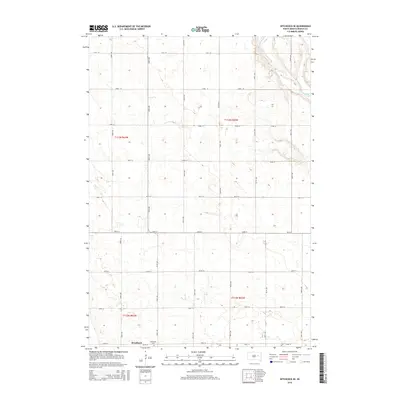
2015 Map of Hitchcock SE
USGS Topo · Published 2015About this map
Broadland serves as the primary point of settlement in this part of Beadle County, appearing as a compact cluster of structures at the intersection of 394th Ave and 199th St. Just east of the town site, Broadland Cem provides a specific point of interest for genealogists tracking family lineages in the James River valley. The landscape is defined by the winding course of the James River, which cuts through the northeastern corner of the map. This 2015 survey illustrates a highly organized rural grid system, with section lines marked by a series of numbered roads including 191st St and 393rd Ave, highlighting the enduring structure of the Public Land Survey System. The terrain is dotted with numerous small depressions and seasonal water features characteristic of the region's prairie potholes.
Find a feature on this map
22 named features on this map. Tap any name to fly to it.
Don’t see what you’re looking for? This feature index may not catch every label — zoom into the map to look around manually.
Map Details
Editions of this 2015 Hitchcock SE Map
This is the sole edition of this map. No revisions or reprints were ever made.
Other maps of this area

1895 · Byron
USGS Topo · 1:125,000

1898 · Huron
USGS Topo · 1:125,000

1953 · Huron
USGS Topo · 1:250,000

1954 · Huron
USGS Topo · 1:250,000

1956 · Lake Byron NW
USGS Topo · 1:24,000

1956 · Lake Byron
USGS Topo · 1:24,000

1956 · Spink Colony
USGS Topo · 1:24,000

1956 · Hitchcock SE
USGS Topo · 1:24,000

1958 · Huron NW
USGS Topo · 1:24,000

1967 · Hitchcock SW
USGS Topo · 1:24,000