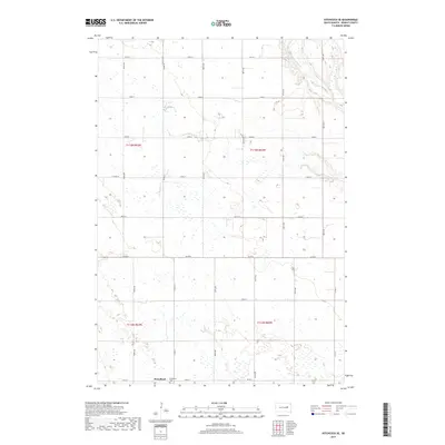
2017 Map of Hitchcock SE
USGS Topo · Published 2017About this map
Broadland serves as the primary anchor for this prairie landscape in Beadle County, where the settlement is situated along the southern edge of the survey area. The topography is defined by the meandering course of the James River, which winds through the northeastern corner, shaping the drainage patterns and wetlands that dot the region. A strict section-line road network, including routes like 393rd Ave and Co Rd 8, organizes the agricultural interior, typical of the Great Plains' rural layout. For those researching local heritage, the Broadland Cem is located just outside the main town site. The map reflects a landscape where water management and agriculture are primary concerns, with numerous small depressions and basins scattered across the townships of T113n R63w and T112n R62w.
Find a feature on this map
22 named features on this map. Tap any name to fly to it.
Don’t see what you’re looking for? This feature index may not catch every label — zoom into the map to look around manually.
Map Details
Editions of this 2017 Hitchcock SE Map
This is the sole edition of this map. No revisions or reprints were ever made.
Other maps of this area

1895 · Byron
USGS Topo · 1:125,000

1898 · Huron
USGS Topo · 1:125,000

1953 · Huron
USGS Topo · 1:250,000

1954 · Huron
USGS Topo · 1:250,000

1956 · Lake Byron NW
USGS Topo · 1:24,000

1956 · Lake Byron
USGS Topo · 1:24,000

1956 · Spink Colony
USGS Topo · 1:24,000

1956 · Hitchcock SE
USGS Topo · 1:24,000

1958 · Huron NW
USGS Topo · 1:24,000

1967 · Hitchcock SW
USGS Topo · 1:24,000