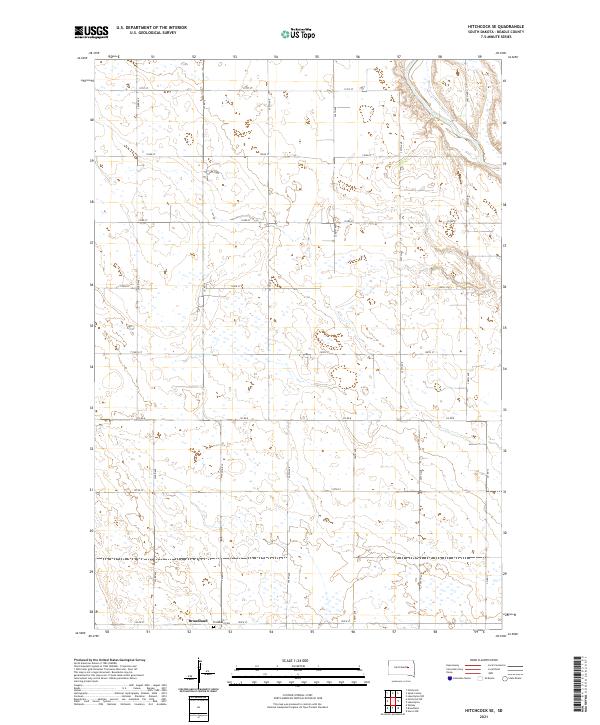
2021 Map of Hitchcock SE
USGS Topo · Published 2021About this map
The Broadland settlement and its surrounding agricultural lands define this section of Beadle County, where the plains are bisected by the meandering course of the James River. The landscape is structured by a rigid section-line road grid, including Co Rd 8, 197th St, and 396th Ave, which service the scattered farmsteads and rural properties. Local history is anchored at the Broadland Cem situated on the southern edge of the township, providing a key point of reference for genealogists researching families from the t112n r63w and t113n r63w survey blocks. The presence of numerous small prairie potholes and depressions across the terrain suggests the characteristic glaciated topography of the eastern South Dakota plains.
Find a feature on this map
22 named features on this map. Tap any name to fly to it.
Don’t see what you’re looking for? This feature index may not catch every label — zoom into the map to look around manually.
Map Details
Editions of this 2021 Hitchcock SE Map
This is the sole edition of this map. No revisions or reprints were ever made.
Other maps of this area

1895 · Byron
USGS Topo · 1:125,000

1898 · Huron
USGS Topo · 1:125,000

1953 · Huron
USGS Topo · 1:250,000

1954 · Huron
USGS Topo · 1:250,000

1956 · Lake Byron NW
USGS Topo · 1:24,000

1956 · Lake Byron
USGS Topo · 1:24,000

1956 · Spink Colony
USGS Topo · 1:24,000

1956 · Hitchcock SE
USGS Topo · 1:24,000

1958 · Huron NW
USGS Topo · 1:24,000

1967 · Hitchcock SW
USGS Topo · 1:24,000