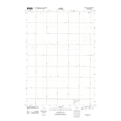
2012 Map of Hitchcock
USGS Topo · Published 2012About this map
Agricultural patterns and a strict sectional grid define this portion of the northern Great Plains in the early 21st century. The map centered on Hitchcock reveals the organization of the rural landscape through an extensive network of numbered roads such as 182nd St and 387th Ave. Small cemeteries serve as localized landmarks for genealogists, with Graceland Cem situated in the northeast and Tulare Cem in the northwest. The southern edge of the quadrangle shows the beginning of the residential layout for the town of Hitchcock, where the grid shifts to named streets including Maple Ave and Clarke St. This survey illustrates the persistent township-and-range geometry that has governed South Dakota land use for over a century.
Find a feature on this map
21 named features on this map. Tap any name to fly to it.
Don’t see what you’re looking for? This feature index may not catch every label — zoom into the map to look around manually.
Map Details
Editions of this 2012 Hitchcock Map
This is the sole edition of this map. No revisions or reprints were ever made.
Other maps of this area

1895 · Byron
USGS Topo · 1:125,000

1899 · Redfield
USGS Topo · 1:125,000

1953 · Huron
USGS Topo · 1:250,000

1954 · Huron
USGS Topo · 1:250,000

1956 · Glendale Colony
USGS Topo · 1:24,000

1956 · Spink Colony
USGS Topo · 1:24,000

1956 · Hitchcock SE
USGS Topo · 1:24,000

1966 · Redfield South
USGS Topo · 1:24,000

1967 · Frankfort SW
USGS Topo · 1:24,000

1967 · Hitchcock SW
USGS Topo · 1:24,000