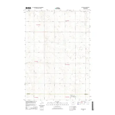
2015 Map of Hitchcock
USGS Topo · Published 2015About this map
Hitchcock sits at the southern edge of this prairie landscape, where the boundary between Spink Co Beadle Co divides the township. This 2015 survey documents the geometric precision of the Great Plains, defined by a rigid grid of section roads including 182nd St and 387th Ave. The town itself is centered around Maple Ave and Clarke St, serving as a localized hub with its own Po and Hitchcock Ch. Outside the settlement, the map records long-standing community landmarks such as Tulare Cem in the northwest and Graceland Cem in the northeast. The terrain is characterized by numerous small depressions and potholes, common to this glaciated region of South Dakota, which dictate the subtle shifts in the otherwise linear road network.
Find a feature on this map
30 named features on this map. Tap any name to fly to it.
Don’t see what you’re looking for? This feature index may not catch every label — zoom into the map to look around manually.
Map Details
Editions of this 2015 Hitchcock Map
This is the sole edition of this map. No revisions or reprints were ever made.
Other maps of this area

1895 · Byron
USGS Topo · 1:125,000

1899 · Redfield
USGS Topo · 1:125,000

1953 · Huron
USGS Topo · 1:250,000

1954 · Huron
USGS Topo · 1:250,000

1956 · Glendale Colony
USGS Topo · 1:24,000

1956 · Spink Colony
USGS Topo · 1:24,000

1956 · Hitchcock SE
USGS Topo · 1:24,000

1966 · Redfield South
USGS Topo · 1:24,000

1967 · Frankfort SW
USGS Topo · 1:24,000

1967 · Hitchcock SW
USGS Topo · 1:24,000