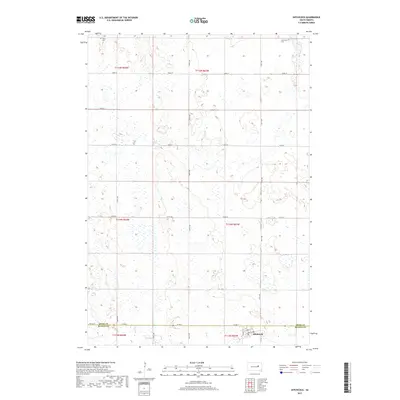
2017 Map of Hitchcock
USGS Topo · Published 2017About this map
Hitchcock serves as the primary hub of activity in this agricultural landscape near the Spink Co Beadle Co border. The town is precisely mapped with its residential grid, featuring Cherry St, Clarke St, and Maple St near the southern boundary. The surrounding prairie is defined by a dense network of wetlands and small water bodies that pocket the terrain between the section lines.
Find a feature on this map
24 named features on this map. Tap any name to fly to it.
Don’t see what you’re looking for? This feature index may not catch every label — zoom into the map to look around manually.
Map Details
Editions of this 2017 Hitchcock Map
This is the sole edition of this map. No revisions or reprints were ever made.
Other maps of this area

1895 · Byron
USGS Topo · 1:125,000

1899 · Redfield
USGS Topo · 1:125,000

1953 · Huron
USGS Topo · 1:250,000

1954 · Huron
USGS Topo · 1:250,000

1956 · Glendale Colony
USGS Topo · 1:24,000

1956 · Spink Colony
USGS Topo · 1:24,000

1956 · Hitchcock SE
USGS Topo · 1:24,000

1966 · Redfield South
USGS Topo · 1:24,000

1967 · Frankfort SW
USGS Topo · 1:24,000

1967 · Hitchcock SW
USGS Topo · 1:24,000