Loading...
Loading map...2021 Map of Hitchcock
USGS Topo · Published 2021About this map
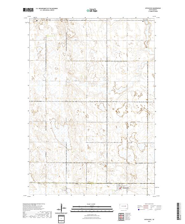
Hitchcock sits at the southern edge of this survey, a small settlement defined by a precise street grid including Cherry St, Clarke St, and Maple St. The surrounding landscape is a testament to the Public Land Survey System, where a rigid network of section lines dictates the placement of rural corridors like 387th Ave and 391st Ave. The boundary between Spink Co and Beadle Co runs just north of the town center, bisecting the region's agricultural plains.
Find a feature on this map
27 named features on this map. Tap any name to fly to it.
Don’t see what you’re looking for? This feature index may not catch every label — zoom into the map to look around manually.
Map Details
Date Portrayed2021
Date Published2021
PublisherU.S. Geological Survey
Map TypeTopographic
Scale1:24000
Physical Dimensions24 x 29 inches
Editions of this 2021 Hitchcock Map
This is the sole edition of this map. No revisions or reprints were ever made.
Historical Maps of Tulare Township Through Time
Featured Locations
Source Details
SourceU.S. Geological Survey
CopyrightPublic Domain