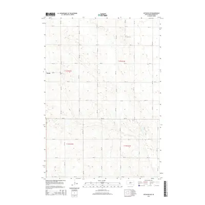
2015 Map of Hitchcock SW
USGS Topo · Published 2015About this map
Bonilla serves as the primary focal point of this rural prairie landscape in Beadle County. The settlement is defined by a grid including Main St, situated along a north-south transportation corridor. Outside the immediate settlement, the terrain is characterized by a high density of small wetlands and depressions typical of the glaciated plains, intersected by a rigid section-line road network. Local genealogy and history are anchored by two burial grounds: Bonilla Cem located just east of the main townsite, and Altoona Cem situated further north along Maple Ave. This 2015 update from the U.S. Geological Survey provides an intricate look at the land's hydrology and modern road access, from 191st St in the north down to 199th St at the southern boundary.
Find a feature on this map
24 named features on this map. Tap any name to fly to it.
Don’t see what you’re looking for? This feature index may not catch every label — zoom into the map to look around manually.
Map Details
Editions of this 2015 Hitchcock SW Map
This is the sole edition of this map. No revisions or reprints were ever made.
Other maps of this area

1895 · Byron
USGS Topo · 1:125,000

1898 · Huron
USGS Topo · 1:125,000

1899 · Redfield
USGS Topo · 1:125,000

1950 · Wessington NE
USGS Topo · 1:24,000

1953 · Huron
USGS Topo · 1:250,000

1954 · Huron
USGS Topo · 1:250,000

1956 · Spink Colony
USGS Topo · 1:24,000

1956 · Hitchcock SE
USGS Topo · 1:24,000

1967 · Hitchcock SW
USGS Topo · 1:24,000

1967 · Tulare SE
USGS Topo · 1:24,000