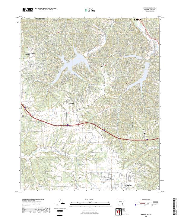
2024 Map of Hiwasse
USGS Topo · Published 2024About this map
Bella Vista and Gravette anchor this recent mapping of northwestern Benton County, capturing a landscape where suburban development meets deep-cut Ozark hollows. The terrain is defined by dramatic topographic features such as Rattlesnake Hollow and Gobblers Knob, while the northern reaches show the winding path of Little Sugar Creek near the community of Caverna. This era of mapping documents the extensive residential street networks and modern infrastructure expanding between the established towns and smaller landing strips like Arkmo Airport.
Find a feature on this map
44 named features on this map. Tap any name to fly to it.
Don’t see what you’re looking for? This feature index may not catch every label — zoom into the map to look around manually.
Map Details
Editions of this 2024 Hiwasse Map
This is the sole edition of this map. No revisions or reprints were ever made.
Historical Maps of Miller Through Time
12 maps found
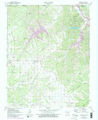
1957 War Eagle
Benton County, AR
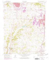
1970 Bentonville North
Benton County, AR
1970 Bentonville South
Benton County, AR
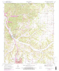
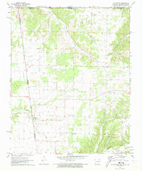
1970 Gallatin
Benton County, AR
1971 Colcord NE
Benton County, AR
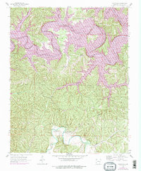
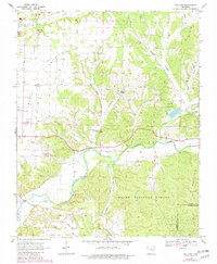
1971 Hiwasse
Benton County, AR
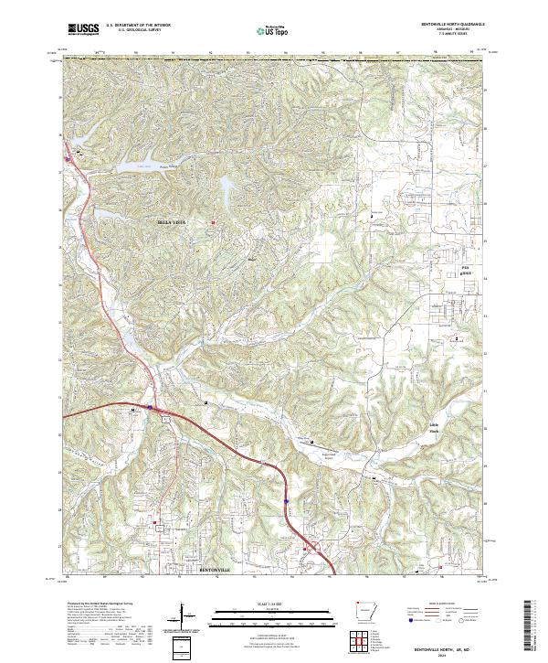
2024 Bentonville North
Benton County, AR
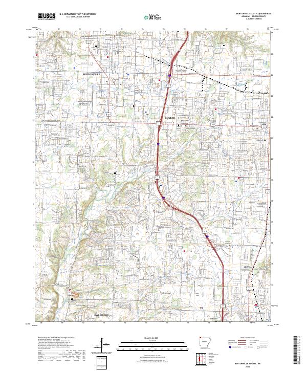
2024 Bentonville South
Benton County, AR
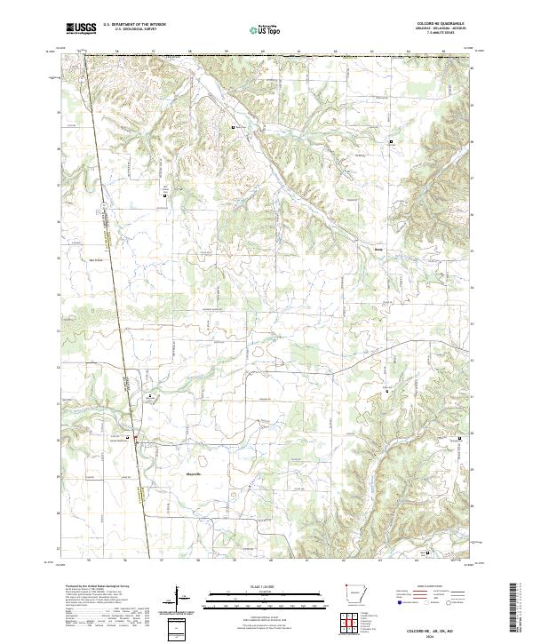
2024 Colcord NE
Benton County, AR
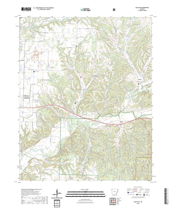
2024 Gallatin
Benton County, AR
2024 Hiwasse
Benton County, AR
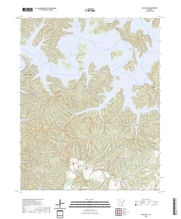
2024 War Eagle
Benton County, AR