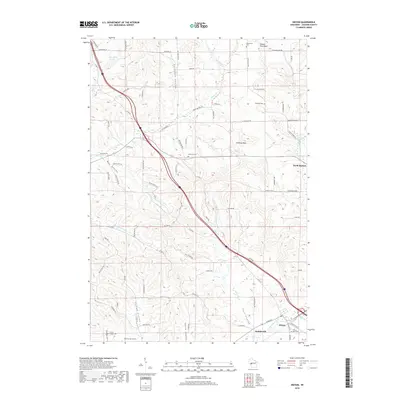
2018 Map of Hixton
USGS Topo · Published 2018About this map
Hixton and the nearby settlement of Sechlerville anchor the southern reaches of this Wisconsin landscape, where the Trempealeau River flows through the driftless-style topography. The map reveals a history of public health challenges through the presence of the Diphtheria Cem and Smallpox Cem in the northern hills near Mound View Rock. These specific burial grounds, along with the Lutheran Cem and Trinity Rest Cem, provide unique touchstones for genealogical research in Jackson County.
Find a feature on this map
86 named features on this map. Tap any name to fly to it.
Don’t see what you’re looking for? This feature index may not catch every label — zoom into the map to look around manually.
Map Details
Editions of this 2018 Hixton Map
This is the sole edition of this map. No revisions or reprints were ever made.
Other maps of this area

1924 · Black River Falls
USGS Topo · 1:62,500

1926 · Black River Falls
USGS Topo · 1:62,500

1927 · Blair
USGS Topo · 1:62,500

1935 · Osseo
USGS Topo · 1:48,000

1940 · Osseo
USGS Topo · 1:62,500

1948 · Fairchild
USGS Topo · 1:62,500

1949 · Fairchild
USGS Topo · 1:62,500

1953 · Eau Claire
USGS Topo · 1:250,000

1958 · Eau Claire
USGS Topo · 1:250,000

1964 · Eau Claire
USGS Topo · 1:250,000