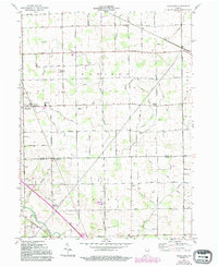
2022 Map of Hoagland
USGS Topo · Published 2022About this map
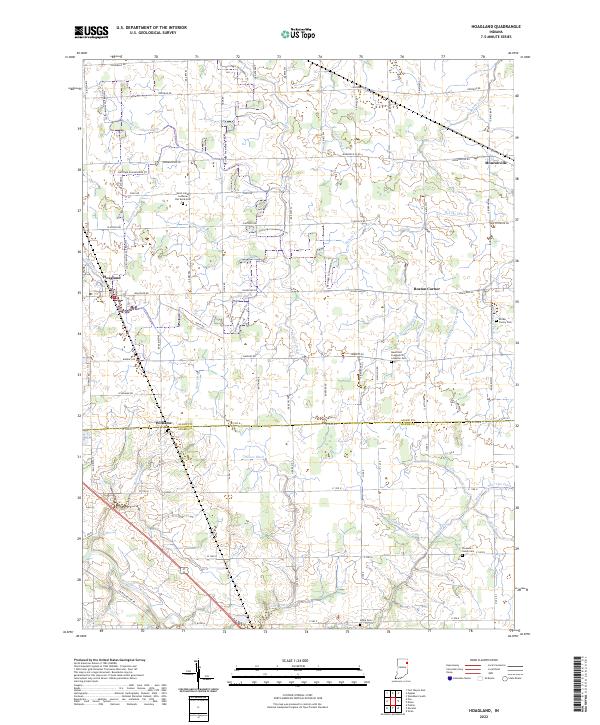
The Saint Marys River winds through the southwestern corner of this landscape on the border of Allen and Adams Counties. This 2022 survey reveals a rural territory defined by an intricate network of drainage systems, including the Bohnke Ditch, Ellison Ditch, and Gerke Ditch, which support the surrounding agricultural fields. Small agricultural settlements like Hoagland and Monroeville anchor the region, connected by a rigid grid of rural roads such as Hoagland Rd and Monroeville Rd.
Find a feature on this map
60 named features on this map. Tap any name to fly to it.
Don’t see what you’re looking for? This feature index may not catch every label — zoom into the map to look around manually.
Map Details
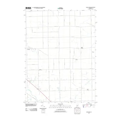
Editions of this 2022 Hoagland Map
This is the sole edition of this map. No revisions or reprints were ever made.
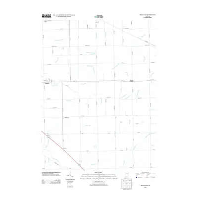
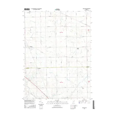
Historical Maps of Monroeville Through Time
6 maps found