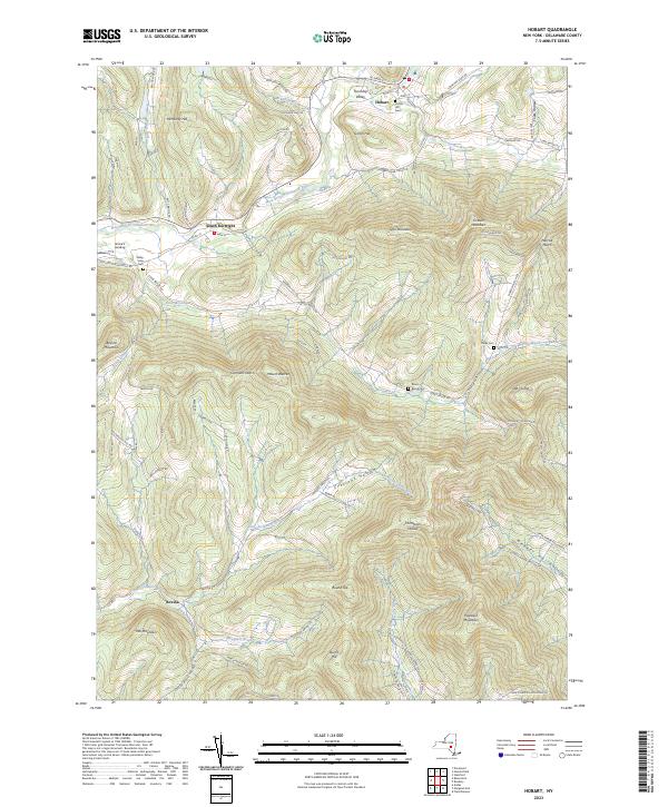
2023 Map of Hobart
USGS Topo · Published 2023About this map
Hobart and the surrounding Catskill highlands are defined by the winding course of the West Branch Delaware River, which carves through Township Valley and Griffin Hill. This modern survey illustrates the enduring settlement patterns of the region, from the cluster of streets in South Kortright to the smaller hamlets of Bovina and Grace's Landing. The landscape is a complex network of ridges and hollows, where family-named landmarks like McMurdy Hill and Lyon Mountain overlook numerous small stream valleys.
Find a feature on this map
97 named features on this map. Tap any name to fly to it.
Don’t see what you’re looking for? This feature index may not catch every label — zoom into the map to look around manually.
Map Details
Editions of this 2023 Hobart Map
This is the sole edition of this map. No revisions or reprints were ever made.
Other maps of this area

1901 · Margaretville
USGS Topo · 1:62,500

1904 · Hobart
USGS Topo · 1:62,500

1904 · Margaretville
USGS Topo · 1:62,500

1909 · Delhi
USGS Topo · 1:62,500

1911 · Delhi
USGS Topo · 1:62,500

1922 · Andes
USGS Topo · 1:62,500

1924 · Andes
USGS Topo · 1:62,500

1943 · Bloomville
USGS Topo · 1:24,000
1943 · Davenport
USGS Topo · 1:24,000
1945 · Davenport
USGS Topo · 1:31,680