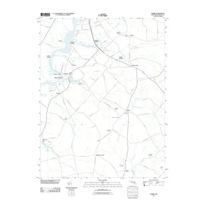
2011 Map of Hobbs
USGS Topo · Published 2011About this map
Choptank River frontage defines the western edge of this Caroline County landscape, where historical landings such as Pealiquor Landing and Potters Landing speak to a long reliance on the waterway. In the early 21st century, the area remains characterized by small agricultural hubs like American Corner and Concord, connected by a dense network of country roads. The hydrology of the region is prominent, from the wide reach of Williston Lake created by the Williston Mill Dam to the winding courses of Watts Creek and Fowling Creek.
Find a feature on this map
95 named features on this map. Tap any name to fly to it.
Don’t see what you’re looking for? This feature index may not catch every label — zoom into the map to look around manually.
Map Details
Editions of this 2011 Hobbs Map
This is the sole edition of this map. No revisions or reprints were ever made.
Other maps of this area

1905 · Denton
USGS Topo · 1:62,500

1905 · Hurlock
USGS Topo · 1:62,500

1915 · Seaford
USGS Topo · 1:62,500

1918 · Harrington
USGS Topo · 1:62,500

1944 · Denton
USGS Topo · 1:31,680
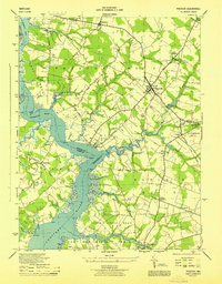
1944 · Preston
USGS Topo · 1:31,680

1944 · Federalsburg
USGS Topo · 1:31,680
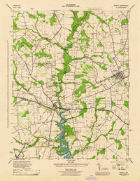
1944 · Ridgely
USGS Topo · 1:31,680

1944 · Seaford
USGS Topo · 1:62,500

1944 · Hobbs
USGS Topo · 1:31,680