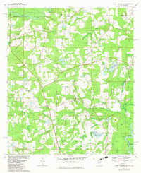
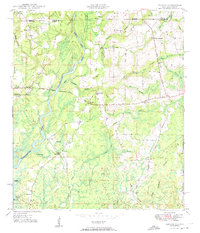
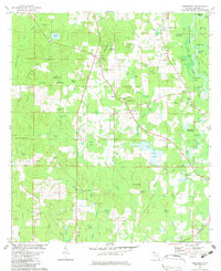
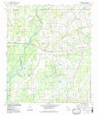
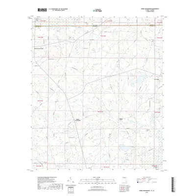
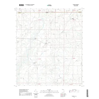
1982 Map of Hobbs Crossroads
USGS Topo · Published 1982About this map
The Pea River meanders along the Alabama-Florida state line, defining a landscape shaped by narrow creek valleys and broad bay swamps. Small agricultural hubs and crossroads like Sweet Gum Head and Hobbs Crossroads anchor the rural Holmes County countryside, while the southern reach of the map features a dense network of bay galls including Eldridge Bay, Jameson Bay, and Powell Bay.
Find a feature on this map
64 named features on this map. Tap any name to fly to it.
Don’t see what you’re looking for? This feature index may not catch every label — zoom into the map to look around manually.
Map Details
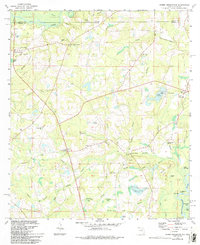
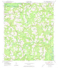
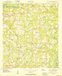
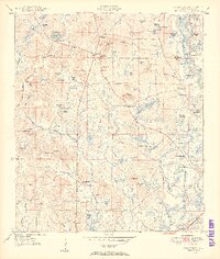
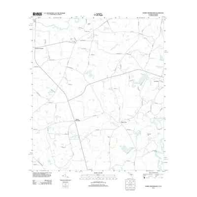
Editions of this 1982 Hobbs Crossroads Map
3 editions found
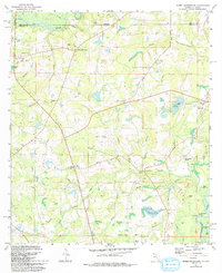
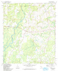
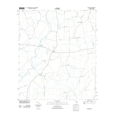
Historical Maps of Hobbs Crossroads Through Time
23 maps found
1949 Hobbs Crossroads
Holmes County, FL
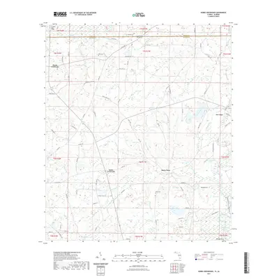
1950 Hobbs Cross Roads
Holmes County, FL
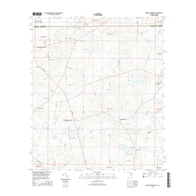
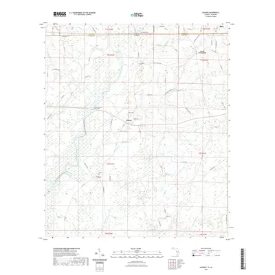
1950 Izagora
Holmes County, FL
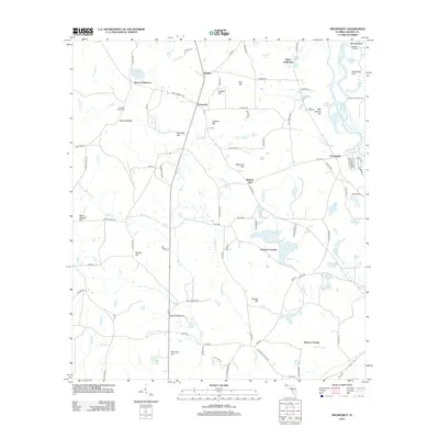
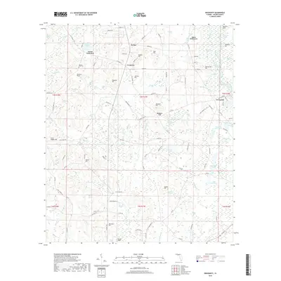
1950 Prosperity
Holmes County, FL
1982 Hobbs Crossroads
Holmes County, FL
1982 Izagora
Holmes County, FL
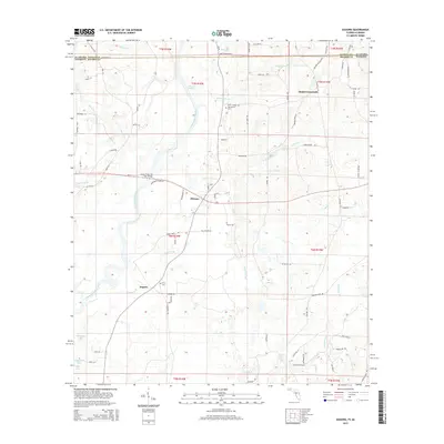
1982 Prosperity
Holmes County, FL
1994 Izagora
Holmes County, FL
2012 Hobbs Crossroads
Holmes County, FL
2012 Izagora
Holmes County, FL
2012 Prosperity
Holmes County, FL
2015 Hobbs Crossroads
Holmes County, FL
2015 Izagora
Holmes County, FL

2015 Prosperity
Holmes County, FL
2018 Hobbs Crossroads
Holmes County, FL
2018 Izagora
Holmes County, FL
2018 Prosperity
Holmes County, FL
2021 Hobbs Crossroads
Holmes County, FL
2021 Izagora
Holmes County, FL
2021 Prosperity
Holmes County, FL
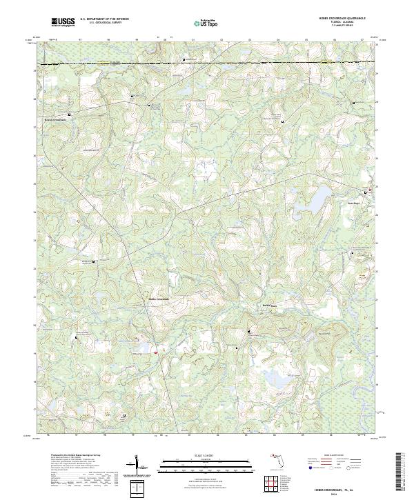
2024 Hobbs Crossroads
Holmes County, FL
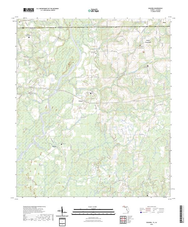
2024 Izagora
Holmes County, FL
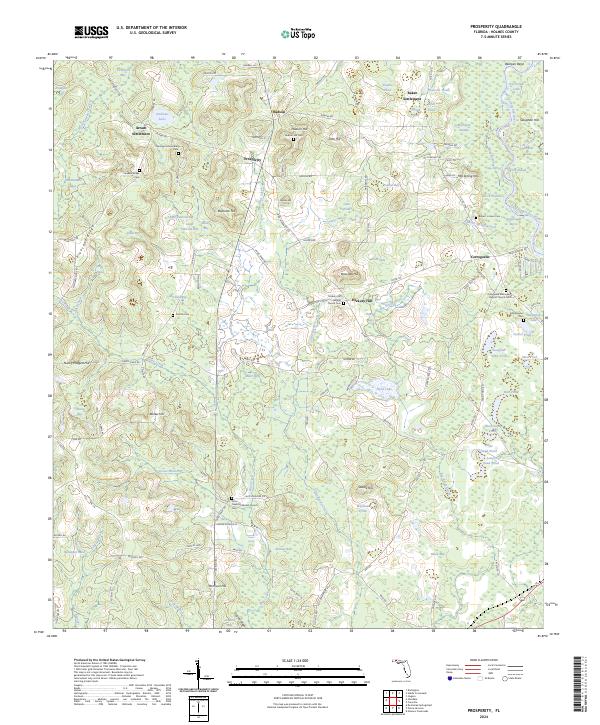
2024 Prosperity
Holmes County, FL