
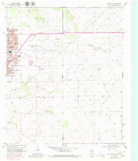
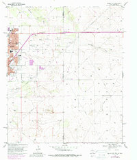
1969 Map of Hobbs East
USGS Topo · Published 1972About this map
The East Hobbs Oil Field dominates the landscape at the intersection of Lea Co, New Mexico, and Gaines Co, Texas. This 1969 survey reveals a transitional period for Hobbs, where the expanding street grid meets a landscape defined by petroleum infrastructure and drainage patterns like Seminole Draw. The residential blocks of eastern Hobbs are densely packed with civic institutions, including Highland Jr High Sch, Taylor Sch, and Coronado Sch, reflecting the community's mid-century growth. Religious life is anchored by several notable congregations, such as Taylor Memorial Ch and Jefferson St Ch.
Find a feature on this map
30 named features on this map. Tap any name to fly to it.
Don’t see what you’re looking for? This feature index may not catch every label — zoom into the map to look around manually.
Map Details
Editions of this 1969 Hobbs East Map
Other maps of this area

1954 · Hobbs
USGS Topo · 1:250,000

1958 · Hobbs
USGS Topo · 1:250,000

1969 · Humble City
USGS Topo · 1:24,000

1969 · Hobbs SW
USGS Topo · 1:24,000

1969 · Hobbs SE
USGS Topo · 1:24,000

1969 · Hobbs West
USGS Topo · 1:24,000

1969 · Humble City SE
USGS Topo · 1:24,000

1970 · Humble City SE
USGS Topo · 1:24,000

1971 · Brinson Ranch
USGS Topo · 1:24,000

1971 · Denver City SW
USGS Topo · 1:24,000