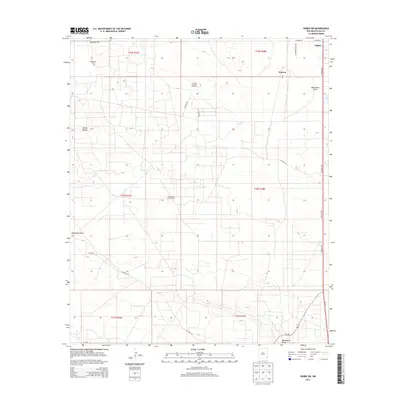
2013 Map of Hobbs SW
USGS Topo · Published 2013About this map
Nadine and the Warren Po post office anchor this portion of the Permian Basin, where the high desert landscape is defined by the infrastructure of the energy and ranching sectors. The Monument Jal Oil Field spans a significant portion of the terrain, interconnected by a network of county roads such as Co Road 58 and Co Road 49. Large-scale land use is evident at the S and W Cattle Company and throughout the various township and range divisions, including t19s r38e and t20s r37e. The natural topography is marked by the White Breaks and the winding path of Monument Draw, which meanders through the arid plains. For local historians, the Monument Cem near Monument Hwy provides a specific point of genealogical interest in this region of Lea County, while major thoroughfares like the S Eunice Hwy facilitate movement across the southern New Mexico landscape.
Find a feature on this map
26 named features on this map. Tap any name to fly to it.
Don’t see what you’re looking for? This feature index may not catch every label — zoom into the map to look around manually.
Map Details
Editions of this 2013 Hobbs SW Map
This is the sole edition of this map. No revisions or reprints were ever made.
Other maps of this area

1954 · Hobbs
USGS Topo · 1:250,000

1958 · Hobbs
USGS Topo · 1:250,000

1963 · Oil Center
USGS Topo · 1:62,500

1963 · Monument
USGS Topo · 1:62,500

1969 · Hobbs SW
USGS Topo · 1:24,000

1969 · Hobbs East
USGS Topo · 1:24,000

1969 · Eunice
USGS Topo · 1:24,000

1969 · Hobbs SE
USGS Topo · 1:24,000

1969 · Eunice NE
USGS Topo · 1:24,000

1969 · Hobbs West
USGS Topo · 1:24,000