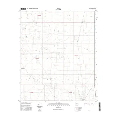
2017 Map of Hobbs SW
USGS Topo · Published 2017About this map
Nadine and the small settlement of Warren anchor this part of Lea County, where the high desert terrain is defined by the ephemeral passage of Monument Draw. The landscape is a network of section lines and rural tracks, including Billy Walker Rd and Goodson Ln, reflecting the organized township and range system of eastern New Mexico. Significant local landmarks such as the Monument Cem along S Mon Cem Rd provide specific points of interest for those researching regional family history. The topography is largely even, interrupted by the drainage of the draw and the geological feature known as White Breaks in the northwest. Much of the activity centers on the corridors of Monument Hwy and N Dal Paso St, showing the modern connectivity between these small desert outposts.
Find a feature on this map
26 named features on this map. Tap any name to fly to it.
Don’t see what you’re looking for? This feature index may not catch every label — zoom into the map to look around manually.
Map Details
Editions of this 2017 Hobbs SW Map
This is the sole edition of this map. No revisions or reprints were ever made.
Other maps of this area

1954 · Hobbs
USGS Topo · 1:250,000

1958 · Hobbs
USGS Topo · 1:250,000

1963 · Oil Center
USGS Topo · 1:62,500

1963 · Monument
USGS Topo · 1:62,500

1969 · Hobbs SW
USGS Topo · 1:24,000

1969 · Hobbs East
USGS Topo · 1:24,000

1969 · Eunice
USGS Topo · 1:24,000

1969 · Hobbs SE
USGS Topo · 1:24,000

1969 · Eunice NE
USGS Topo · 1:24,000

1969 · Hobbs West
USGS Topo · 1:24,000